-2.jpg)
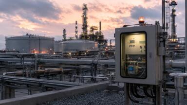
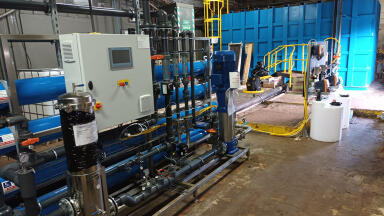
Water/Wastewater
Published over 2 years ago. See the latest and most current information on Water/Wastewater.
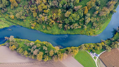
Oasis montaj Helped the Government Organise Detailed Geological Data for Responsible Mining, Water Access, and Geothermal Exploration Moving Beyond Decades-old Surveys A crucial part of protecting the environment is understanding the environment. In Kenya, the need grew for improving land use in areas including more targeted, less disruptive mineral exploration and effective infrastructure development. As northern Kenya recently experienced a drought and climate change has raised risks of water scarcity, locating new groundwater aquifers to improve access has become a priority. Finally, Kenya has great potential for geothermal energy use, which could provide abundant carbon-free power. Unfortunately, Kenya’s geological database largely consisted of surveys conducted in the 1970s. To keep their country resilient, overcome climate change challenges, and keep up with a growing population, the Government of Kenya needed to greatly uplevel its geological knowledge. Taking to the Air They initiated the Kenya Nationwide Airborne Geophysical Survey project to gain an improved understanding of the land. With a seamless map of airborne geophysical data of the entire country, the government could eliminate blind spots, reveal valuable resources, and inform resiliency actions. Naturally, such an ambitious project involves an enormous amount of information – over three-million-line kilometres. Processing all that data would be challenging enough, but the team had to finish the project quickly to keep the data as current, accurate, and useful as possible. Organising an Entire Country’s Data As longtime users of Oasis montaj from Seequent, The Bentley Subsurface Company, the government realised that the application could help them meet the deadline without relying on outside contractors. The team quickly transformed the massive quantities of high-resolution survey information into organised databases. They then used the application to undertake quality control, generate production reports, and link the new data with legacy data. Planning for a More Sustainable Kenya The project team created a full geological map of Kenya with accurate, correctly tagged data. With fast turnaround and quality control, they reduced the need for data capture flights by 40%, significantly reducing the carbon impact of the project. The government can use data from the project to make mining activities both more efficient and environmentally accountable. The data will also help the government and associated organisations responsibly tap underground aquifers for improved water access, and to explore the development of clean, renewable geothermal power.


.jpg)