Air clean up
Published over 6 years ago. See the latest and most current information on Air clean up.
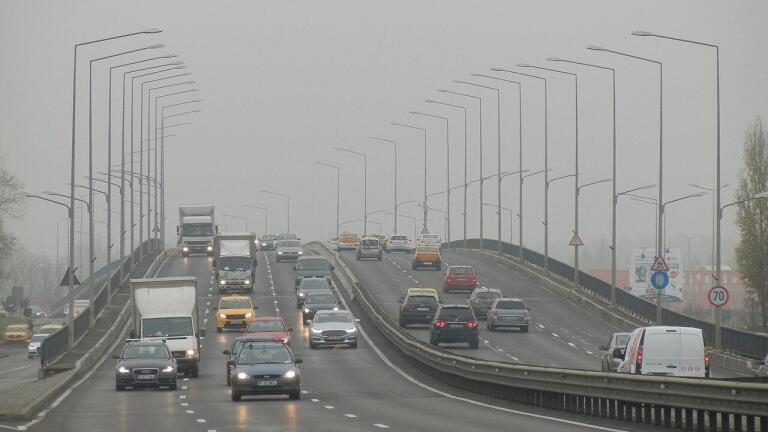
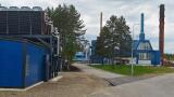
A new study funded by NASA and undertaken by a number of different American universities is aiming to provide accurate information about surface-level pollution across the United States. Although major new low-cost air quality monitoring technology has improved our knowledge of air pollution around the globe, it often fails to differentiate between air quality at ground level and that five or ten miles above.
As such, the existing figures can do much to inform our habits with regards to safeguarding the environment, but are less effective when interpreting how pollution affects human lungs or crop cultivation. By providing over half a million dollars in funding, NASA are hoping to bridge the gap in that knowledge over the course of a three-year, first-of-its-kind study involving industry academics from all over the States.
The collaborative research will be led by scientists at the University of Buffalo, but will also feature eminent experts in the field from Boston University, Harvard University, the Smithsonian Astrophysical Observatory and Atmospheric and Environmental Research, Incorporated. It has won a $528,000 (£434,000) grant from NASA and aims to develop a series of algorithms and statistical analysis methods that can provide a clearer picture of pollution at ground level.
Taking place over a three-year period, the study will combine existing satellite data with information gleaned from NASA’s own research campaigns, alongside weather patterns logged by airline monitors and a mixture of different atmospheric modelling software. The aim is provide more comprehensive information about concentrations of surface-level contaminants such as ammonia, formaldehyde and nitrogen dioxide, among others, which can be accessed in real-time by the general public.
Existing air quality networks do help to mitigate pollution but don’t go far enough in mapping out concentrations of contaminants that affect humans, animals and plant life. That’s because satellite imaging is effective only at plotting pollution in the form of a vertical column, hence why NASA are keen to pursue alternative methods of collecting contaminant data. The Research and Education in eNergy, Environment and Water (RENEW) arm of the University of Buffalo appears to provide the perfect landscape upon which these exciting new investigations can take place.
There's an information gap between what current satellites can tell us about air pollution and what's really happening near Earth's surface where we live," explains Kang Sun PhD, principal researchers on the project. “This is of immense importance because surface air quality not only affects the health of humans but also ecosystems, crops and more.” Perhaps the most encouraging aspect of the study is its open-access nature; everyday Americans all across the country will be able to benefit from the team’s efforts, free of charge. In this way, science really will benefit the many and not the few.


_shutterstock_2296088597.jpg)